
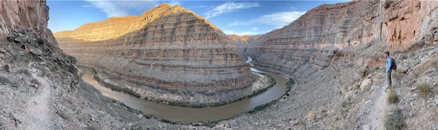
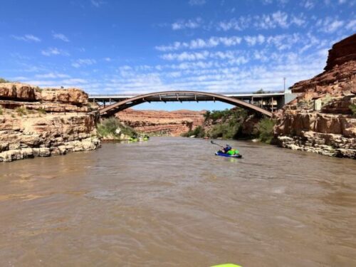
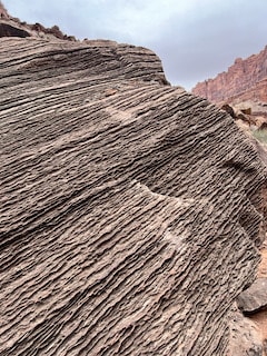
From the headwaters near Pagosa Springs it cuts its way through limestone and sandstone until it reaches the leftover sludge of Lake Powell. Boasting one of the largest gradients of any river in the United States (8ft/mile), it was this velocity and erosive power that helped the San Juan River carve one of the most famous entrenched meanders on earth, The Goosenecks. Few entrenched meanders are not only as tightly bound, but also as deep as the ones carved by the San Juan as the Laramide Orogeny lifted the ancestral headwaters of the San Juan. This event gave the San Juan velocity and gradient, allowing it to carve the deep canyons that had been established prior to the mountain building event.
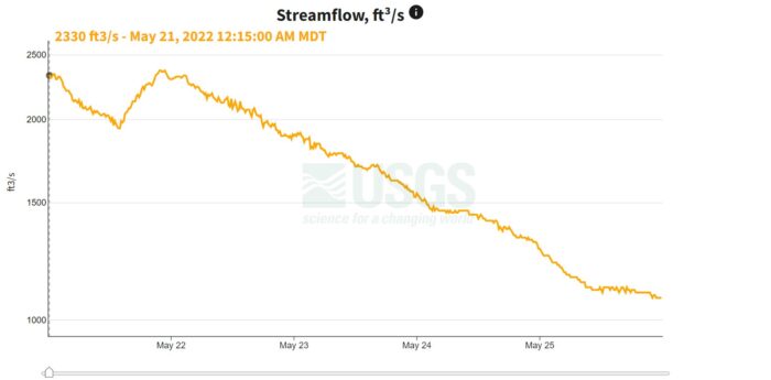
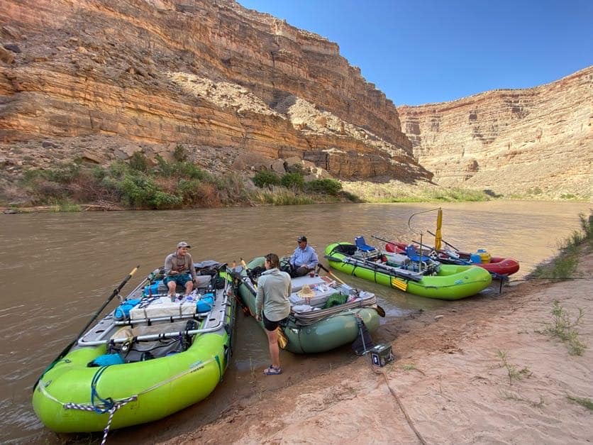
All that being said the river now runs into what was formerly a full pool at Lake Powell. Which creates some sediment/sand bar issues, as well as some slow moving water so the more you have, the better your life will be.
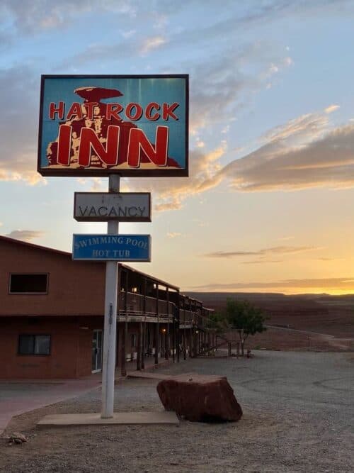
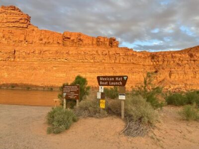
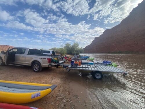
Before any of that, we begin in Mexican Hat Utah. A bustling metropolis that is centered around a 7-11. Across the street you will find the boat ramp, a place to leave your vehicle for shuttle, a hotel, and the Swinging Steak. Most of these places are family operations and have been for years. There also is most likely meth.
This water is notoriously turbid (read dirty). I learned they say, “too thin to plow, too thick to drink”. Bring your own water. When you’re on the water, you’ll find a few things.
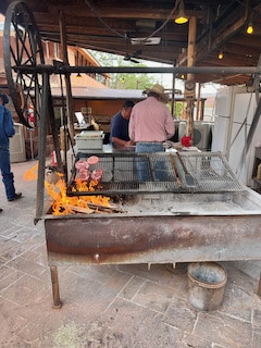
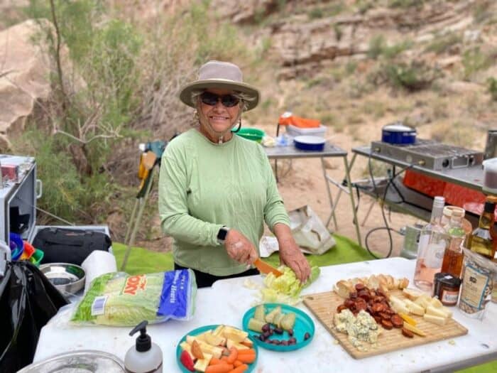
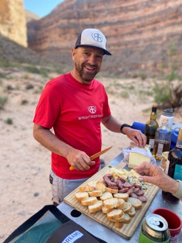
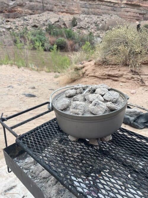
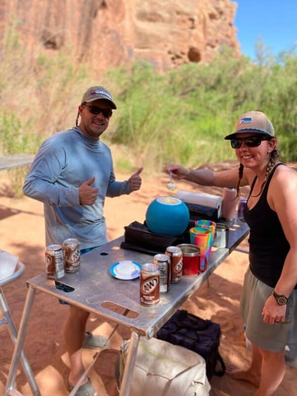
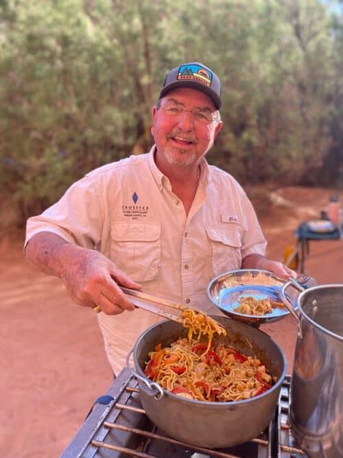
The food game is critical. Taking it up a notch involved making ice cream not once, but twice. Including the second time on day 4.


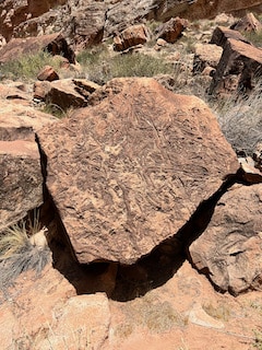
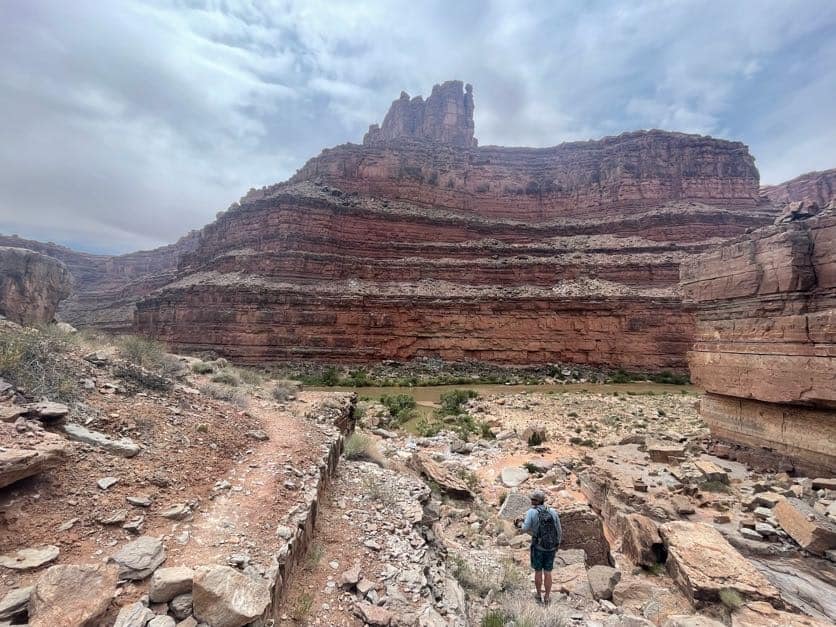
Much of the upper reaches of the Juan through the Goosenecks lend itself to rapid river travel. The Honaker trail allows you to hike out of the river corridor and get up on top of the canyon which otherwise constrains you to within its walls. The geology itself is also very unique, lots of limestone and rock formations in the upper section that I hadn’t seen before.
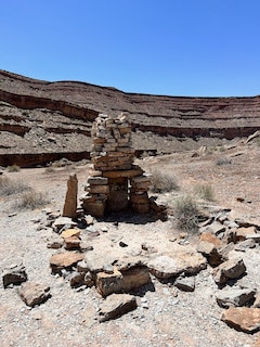
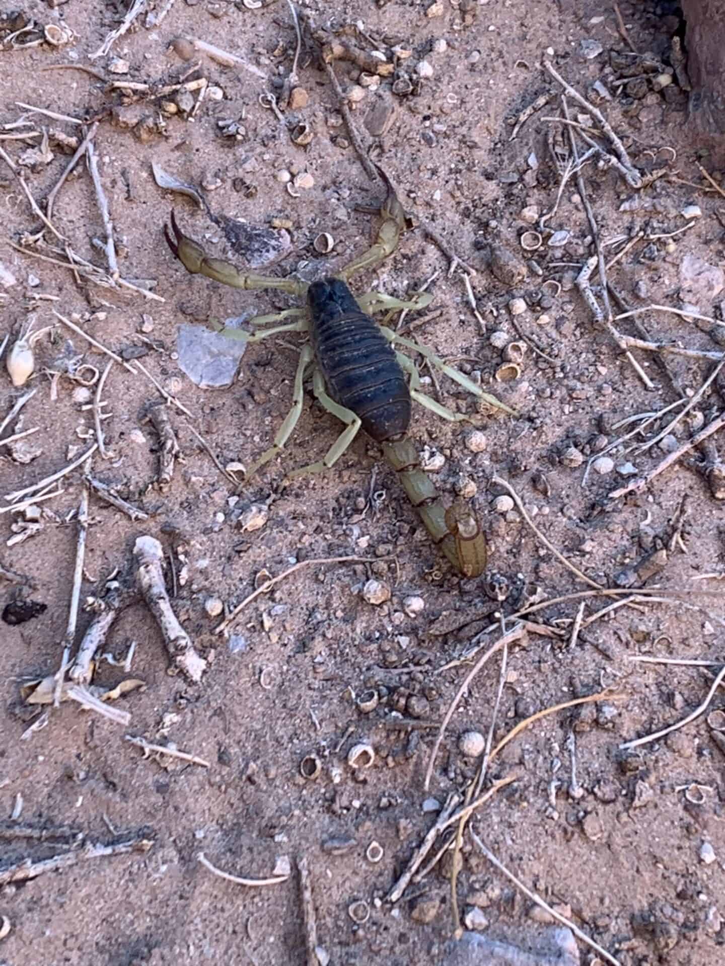
So before we take this journey through the mud flats, it is also important to note the size of all the side canyons and what some of the flash floods that run through this area must be like. Telling you, biggest I’ve ever seen with huge streaks of mineral deposits that are indicative of…enormous flash floods. Also scorpions, probably Black Hairy Scorpion’s but I’ll leave that to your google search.
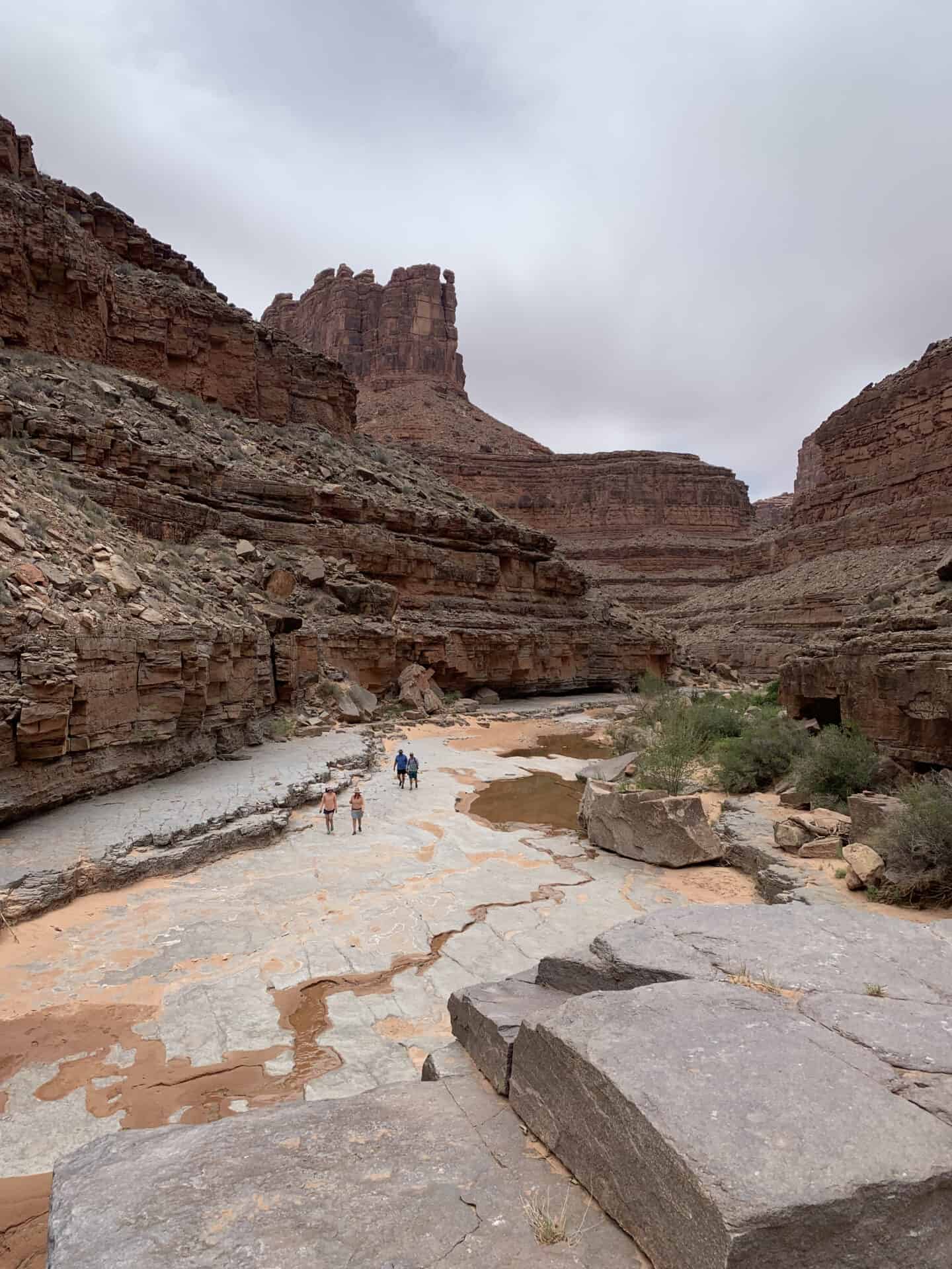
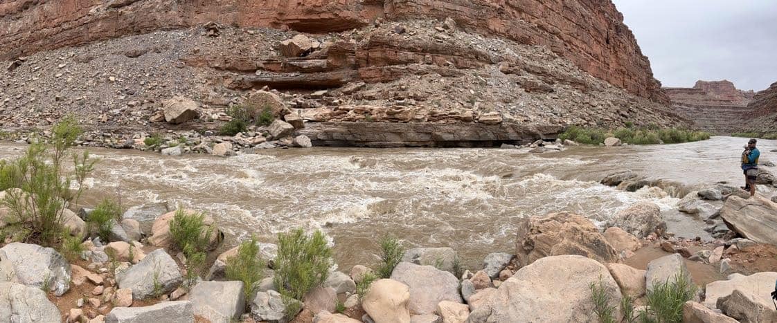
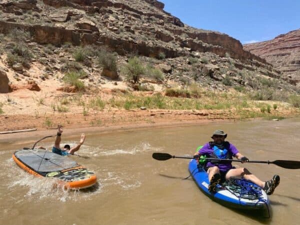
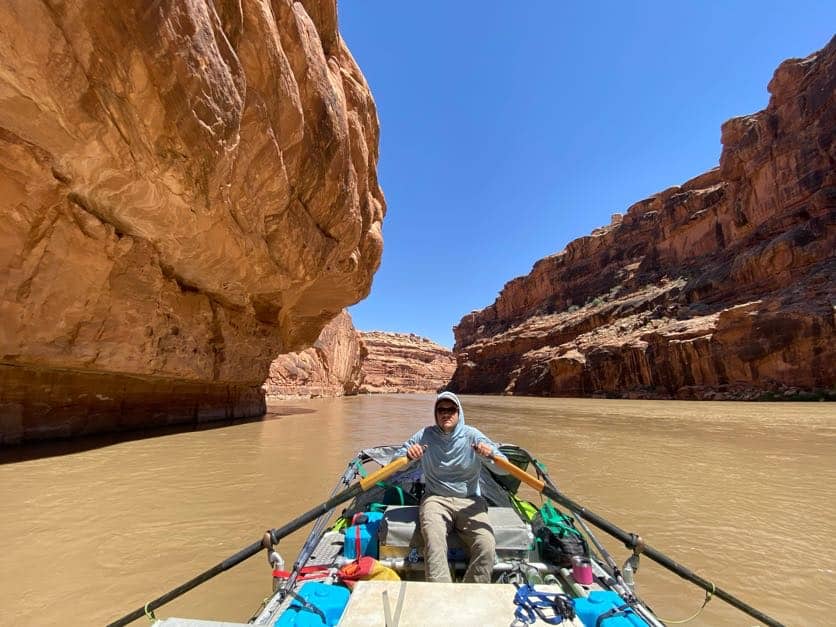
There was the rapid pictured above, which deserves the mention it just received. More importantly however, is the slug from Steer Gulch to Clay Hills. The river actually stops moving about 400 yards downstream of Steer Gulch. It is also exactly 1″ deep in random places. Prepare your mind, this is your reality for the next 1.5 days.
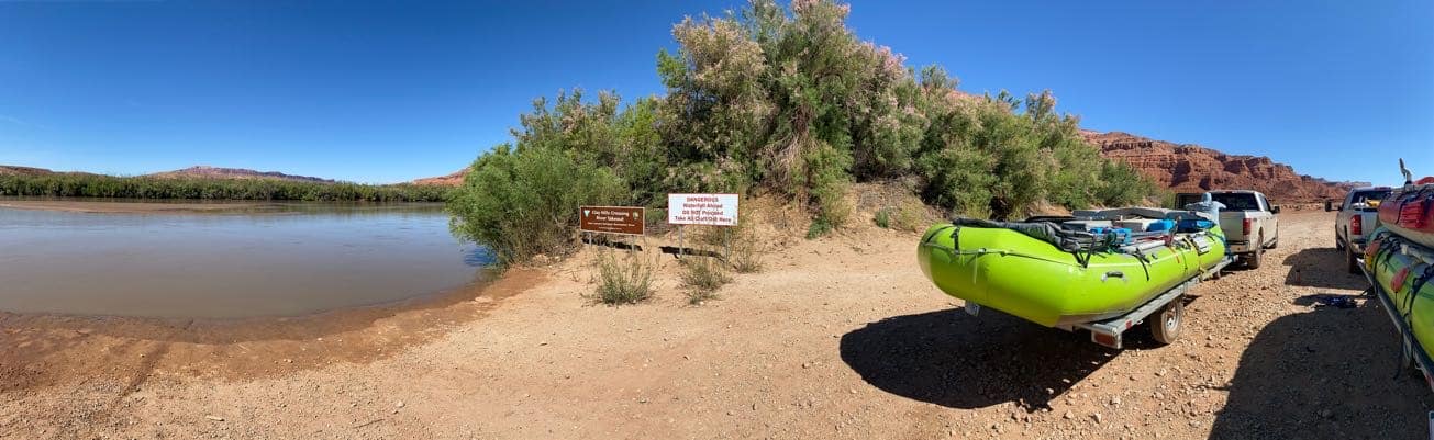
Hey, at least there was enough water we could float the rafts onto the ramp. Pretty neat area, and floating into what used to be the upper reaches of Lake Powell is surreal. 7/10, recommend.